


STANLEY, Idaho (AP) - Chamberlain Basin boasts some of the most striking views in the White Cloud Range, and it’s a hike that’s doable for most people of reasonable fitness.
Luke Ramseth and I made the trip as part of a reporting project about the area a year after major sections became protected wilderness.
Perhaps the biggest obstacle is the drive in on Pole Creek Road, which starts about 25 miles south of Stanley. It’s about 14 miles, getting rougher the farther you go. The road is washed out and rocky in many places, and there are a number of stream crossings. Decently high clearance is a necessity, and four-wheel drive is recommended.
Starting from Washington Creek Trailhead, follow the Washington Lake Trail toward Germania Creek. Turn left at the Castle Divide Trail and continue until the ridgeline.
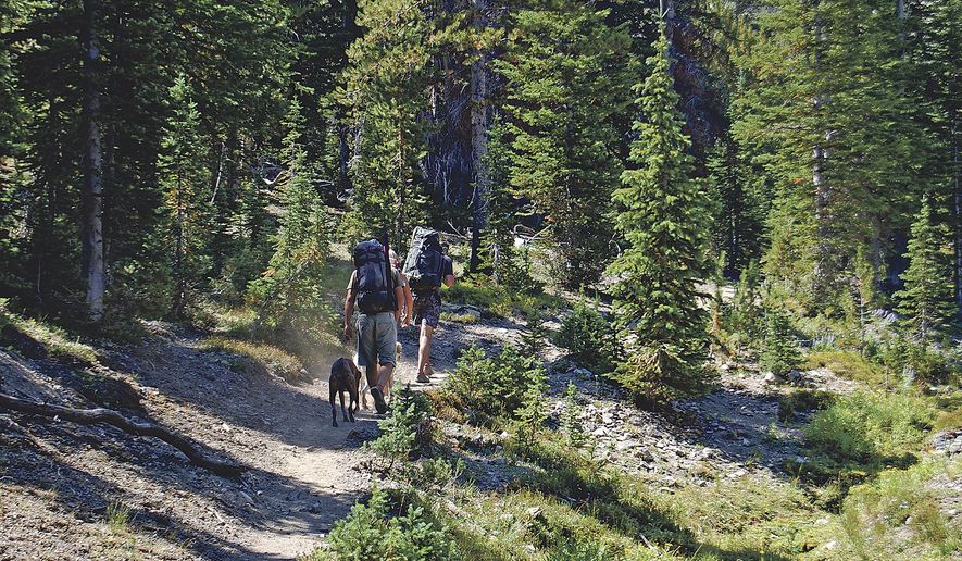
Luke and I started out late on a Friday evening, and walked in a little less than a mile. There were several stream crossings which were easily made in late August but could be more challenging earlier in the year when high-altitude snowpacks haven’t fully melted. We made camp below the trail junction where we would begin gaining elevation toward Chamberlain Basin the next day.
We began heading up the trail toward the ridgeline. The climb gradually gains altitude with plenty of switchbacks, rising a little less than 2,000 feet from the junction in about 3.5 miles. The trail is clear and well maintained.
We popped to the top of the ridgeline at around 2 p.m. and took a break to soak it all in.
If you can’t make it farther, at least make it here. The view from the ridge into Chamberlain Basin, dotted with clear-blue alpine lakes, filled with wildflowers and lodgepole pines, is astounding. Dominating the view to the north is Castle Peak, the craggy, 11,815-foot mountain that is the icon of the White Clouds. To the south there are excellent views of the southern edge of the range.
The 700-foot descent into the basin is gradual, passing by small lakes, open fields and groves of old-growth forest, including gnarled whitebark pines - a high-altitude species which the U.S. Fish and Wildlife Service warned in 2011 is in imminent danger of disappearing. While we didn’t see bighorn sheep or mountain goats, they are commonly reported in the area.
There were relatively few other backpackers in the basin, though a steady trickle of day hikers made their way along the trail throughout the day.
We made camp on the shores of Lake 9197, right at the base of Castle Peak, where there are many well-used camp sites.
After lunch and a rest we made a late start toward the summit of Castle Peak.
But about a third of the way up I realized I wasn’t making enough progress to get up and down before dark. The rock on Castle Peak is notoriously loose and unstable, and I turned back.
Luke sprinted up like a goat, quickly gaining the summit by following the leftmost branch of the main gully all the way to the ridgeline before moving along to the summit. He reported this route had lots of loose rock and a few moves with significant exposure.
We spent the evening and much of the next morning lounging by the sides of the lake. Shortly before we broke camp, Ed Cannady, a U.S. Forest Service backcountry recreation manager who has been working in the White Clouds for 40 years, happened along.
We asked Cannady to name his favorite spot in the White Clouds. He said he couldn’t do that, that there were at least 15 such spots he would list.
There’s a lot more exploring to do.
___
The original story can be found on the Post Register’s website: https://bit.ly/2cNmYJT
___
Information from: Post Register, https://www.postregister.com
Please read our comment policy before commenting.